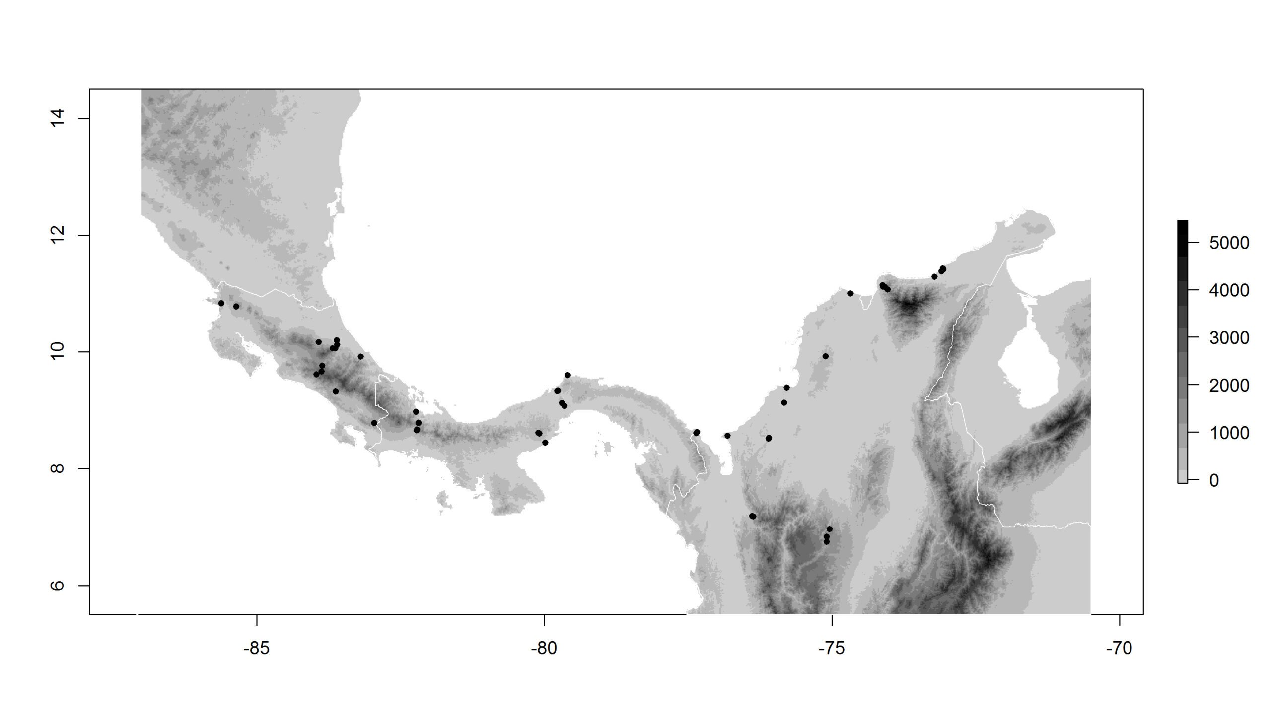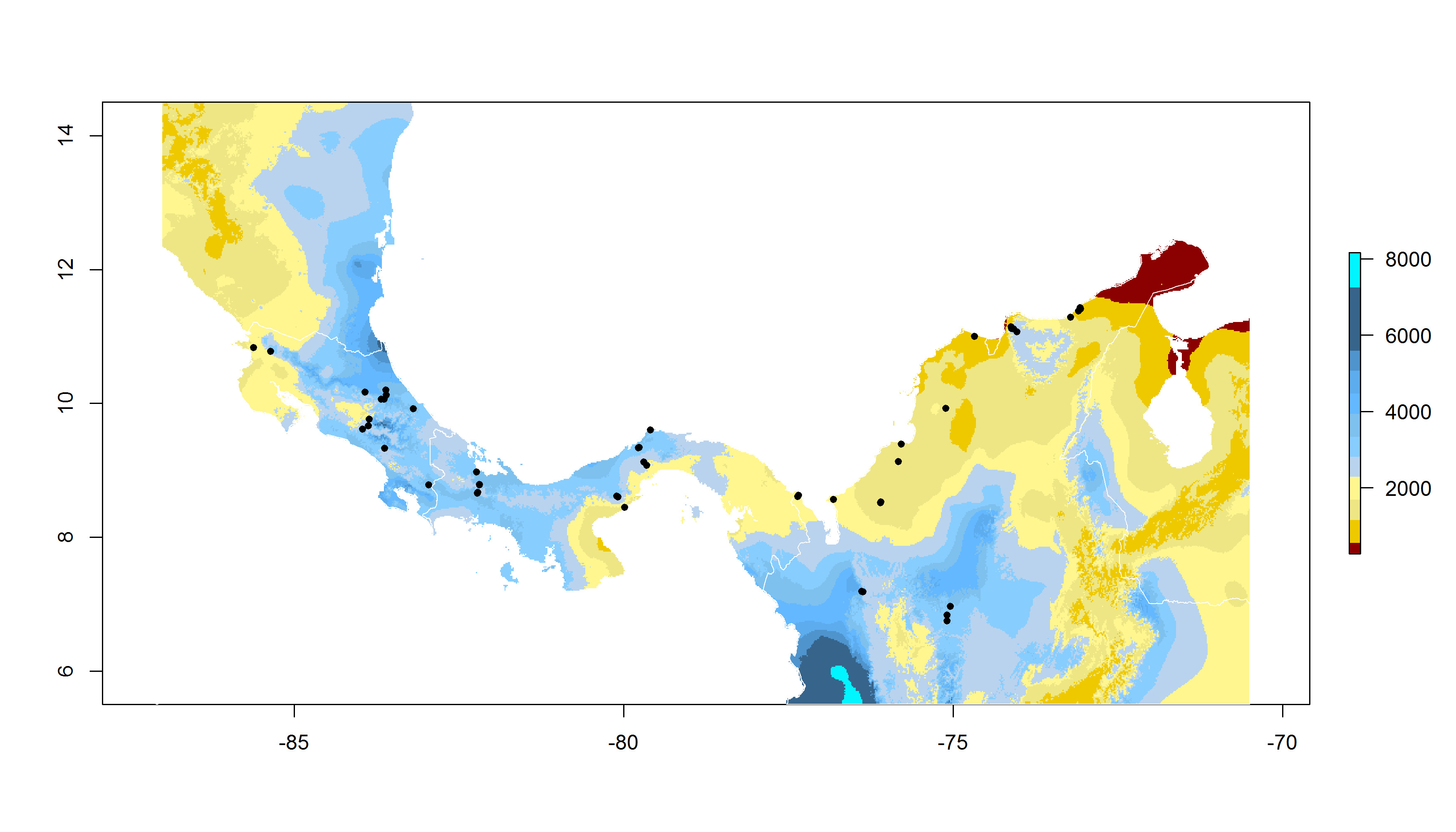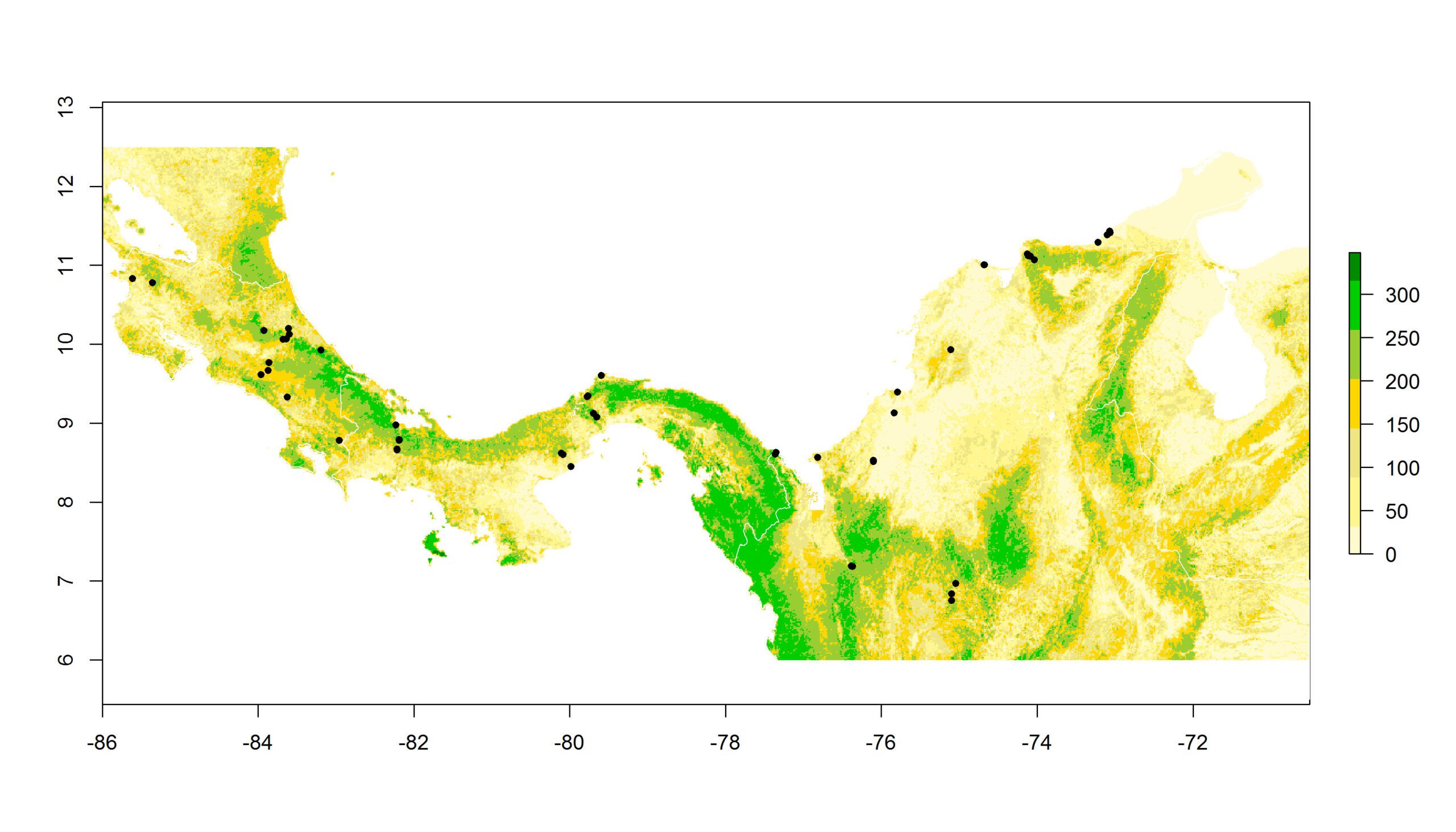
To fill critical information gaps about where, when and why birds stopover on migration, the Neotropical Flyways Project employs a three-stage hierarchical methodology. The three main steps undertaken in each of the countries of interest are:
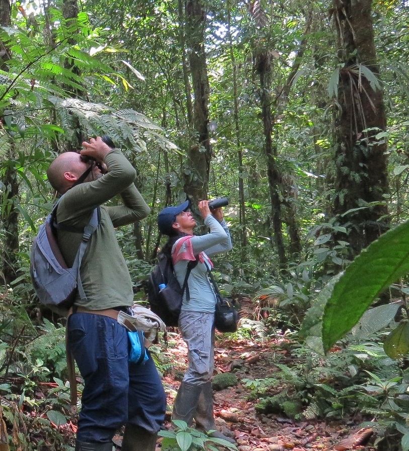
- Country-wide occupancy and visible migration surveys to define broad-scale patterns of use during fall and spring migration
- Establish constant effort mist-netting stations at potential stopover sites identified through occupancy surveys to understand the energetic contribution of a stopover
- Employ tracking technologies, such as nano-tags (radiotransmitters), to determine stopover duration and onward migration strategies in focal species
Below, we describe the methodology employed in stage one, namely that behind the occupancy surveys that underlie the maps of stopover use presented here (see Maps by species on the home page).